
FOCUS AREA
Estuaries
Overview
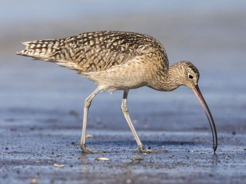
Estuaries are the area where freshwater meets saltwater. They provide important ecosystem services and critical habitat to many species. The main estuary of the PWR LIO is the Puyallup River Estuary at Commencement Bay. Historically, these areas were important habitat for salmon and were a source of food, materials, and transportation for the Puyallup Tribe.
Key Pressures and Risks
An 1884 inventory of tidal wetlands estimated that there were over 2,600 acres of tidal marsh, tide channels, and salt ponds in the estuary. The estuary has been significantly filled and altered since European settlement, resulting in significant loss of intact nearshore habitat, tidal wetlands and channels, and salt marsh.
Development
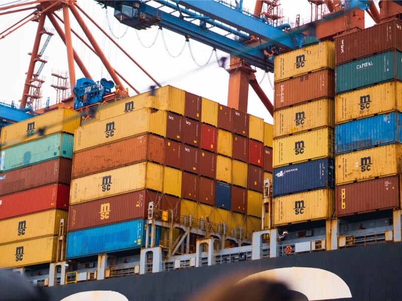
Industrialization in Commencement Bay resulted in the filling of a vast area of tideflats and the channelization of the meandering streams and rivers that flowed into the bay.
Pollutions
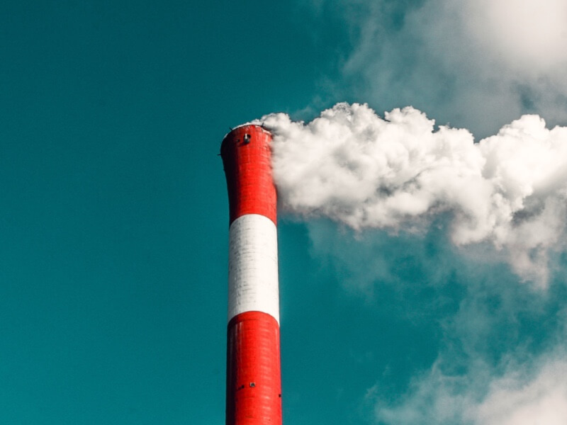
Historically, waterways in the estuary have received releases of hazardous substances from various industries, including shipbuilding, oil refining, and chemical manufacturing plants.
Infrastructure
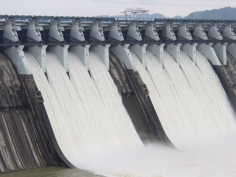
The estuary has been affected by marine levees, floodgates, tide gates, armoring and other shoreline alterations.
Climate Change
The EPA states that the largest impacts on estuaries from climate change are rising sea levels, altered rain patterns, drought, and ocean acidification.
- As a result of rising sea level, estuarine shorelines will move and inundate lowlands, displace wetlands, and alter the tidal range in rivers and bays.
- Increased instances of storm surges will similarly result in more areas subject to periodic inundation, greater stormwater runoff, erosion, and sedimentation.
- This alteration of the nutrient load, pollution, and sediment load may threaten the functionality of estuarine ecosystems.
Estuaries Goal
The overall goal for estuaries is to support the restoration of estuarine and shoreline habitat to enhance functional and sustainable ecosystems.
Salmon Habitat Protection and Restoration Strategy
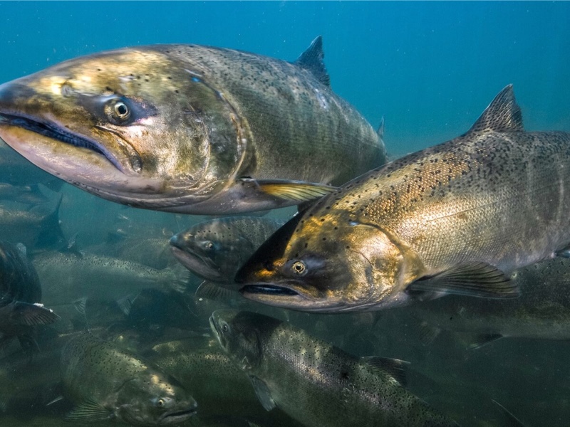
The Strategy includes a 50-year goal to protect 32,000 acres of floodplain habitat, including estuary and nearshore habitat, from development and a 10-year goal to restore 153 acres of nearshore habitat.
Tribal Habitat Strategy
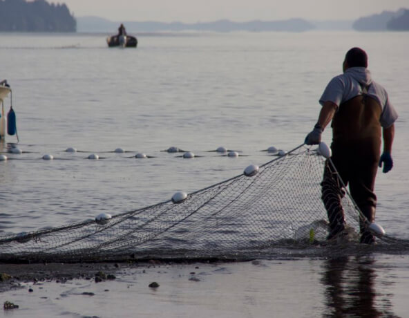
The main nearshore goal in the Strategy is to restore and/or maintain ecological connectivity and geomorphic function of the nearshore, from 200 feet on the landward side to 100 feet below mean lower low water (MLLW).
City of Tacoma Shoreline Restoration Plan
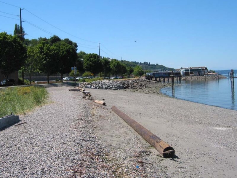
The Shoreline Restoration Plan includes goals to restore estuarine wetlands and to restore and protect the salt marsh habitat.
Equity
Pierce County’s Sustainability 2030 plan calls for action to increase partnering with local Tribes and others to identify innovative ways to sequester carbon in estuaries and the nearshore environment.
The County plans to provide engagement on this project through a process that has a focus on equity and prioritizes underrepresented communities.
Estuary Successes in the Watershed
Several estuary restoration and cleanup projects have been completed in recent years, contributing to progress toward estuary goals.
Hylebos Creek Estuarine Restoration Site
This 6.7-acre site near Commencement Bay has been restored to a functioning estuarine marsh featuring intertidal channels and forested upland.
Clear Creek Mitigation Sites
The Port of Tacoma has restored two sites off Clear Creek, which is tidally influenced. The two sites total 57 acres.
Thea Foss Waterway Cleanup
In 2006, the City of Tacoma cleaned up the Thea Foss Waterway by removing or capping contaminated sediments.
Priority Actions for The Estuary
The PWR LIO will prioritize support for estuary projects identified for funding by the WRIA 10 Lead Entity, the Port of Tacoma Habitat Restoration Plan, and the City of Tacoma Shoreline Restoration Plan. Projects are focused on:
- Land acquisition
- Nearshore restoration
- Wetland mitigation banks
- Long-term stewardship of restoration sites in Commencement Bay