
FOCUS AREA
Floodplains
Overview
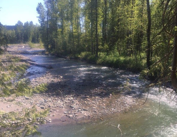
A healthy floodplain includes multiple elements that contribute to a functioning floodplain, including the natural physical process and biological factors that support salmon populations; the long-term viability of agricultural lands; and the reduction of the risk of flooding (i.e., balancing Farm, Fish, and Flood interests).
Key Pressures and Risks
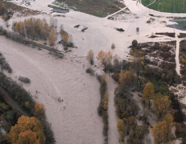
Today, the Puyallup Watershed contains 9,000 homes with 21,000 people, approximately 170 key facilities, and $2.7 billion of assessed value at risk from flooding. The economic loss of a major flood in the watershed could exceed $725 million.
Growth and Development
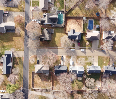
Population growth and conversion of land from natural cover to commercial and industrial areas.

Transportation Infrastructure
Roads and railroads, including culverts, which often disconnect the floodplain from the river.
Water Infrastructure
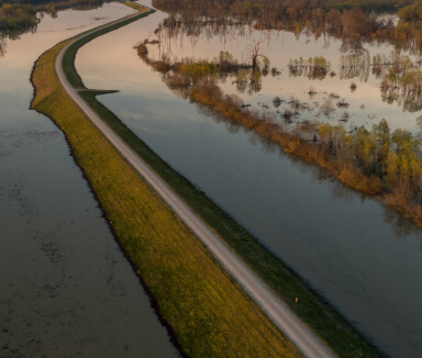
Marine levees, floodgates, tide gates, armoring, and other shoreline alterations.
Climate Change
Floodplains for the Future has identified climate impacts of concern that are projected to increase flood risk in the Puyallup Watershed. The impacts will be the focus of climate mitigation actions, research, and modeling.
Climate impacts of concern:
- Growing season
- Snowmelt
- Low flows
- Water temperatures
- Precipitation
- Peak flows
- Sediment
- Sea level
- Groundwater
Floodplain Goal
The overall floodplain goal is to have restored connections between rivers and land that improve habitat for salmon, protect communities and critical infrastructure from flooding, and provide new opportunities for recreational and cultural uses while preserving agricultural lands in the Puyallup River Watershed.
Floodplains for the Future
Floodplains for the Future is a collaborative integrated floodplain management for the Puyallup Watershed pursuing a set of strategies including floodplain reconnection and removal of structures from the floodplain.
Tribal Habitat Strategy
The 2019 Tribal Habitat Strategy was created by the Northwest Indian Fisheries Commission. It provides goals, indicators, and initiating tasks for five habitat areas, including floodplains. The goal for floodplains is to protect, restore, and enhance hydrological and geomorphic connectivity between rivers and their floodplains and deltas.
Salmon Habitat Protection and Restoration Strategy
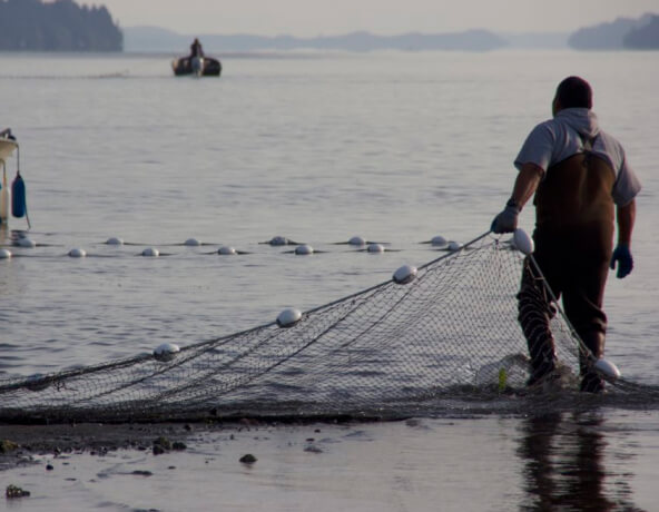
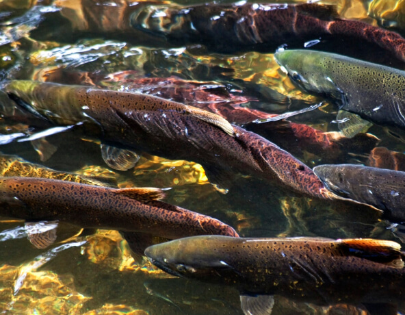
The Salmon Habitat Protection and Restoration Strategy includes the goals of protecting 32,000 acres of floodplain habitat from development by 2067 and removing 203,000 linear feet of levees and reconnecting 2,300 acres of floodplain by 2027.
River Flood Hazard Management Plan
The Pierce County Rivers Flood Hazard Management Plan, adopted in 2013 and updated in 2018, guides how flooding and the associated hazards are management. Pierce County is currently developing a new Flood Plan that will be adopted in 2023.
Equity
The Pierce County Department of Emergency Management is focused on creating resilience communities and enhancing public safety by empowering the whole community to prevent, mitigate, prepare for, respond to, and recover from all types of hazards, including flood risk.
Key Points
- Floodplain management activities need to consider equity to ensure that all communities benefit from flood risk reduction measures
- Flood risk is often borne disproportionately by lower income and minority populations
Floodplain Successes in the Watershed
Over the past decade, a number of levee setback and floodplain reconnection projects have been completed in the watershed, reducing flood risk and restoring habitat.
South Prairie Floodplain Restoration
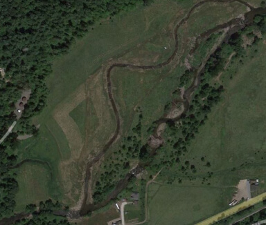
Partners restored over a half mile of main channel habitat, created new side channel habitat, and increased flood storage in a principal salmon bearing stream.
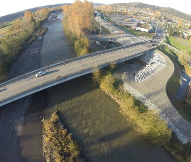
Calistoga/Ken Wolfe Setback Levee
The City of Orting set back a levee, increasing flood storage to better protect homes in the City and reconnecting the river to wetlands.
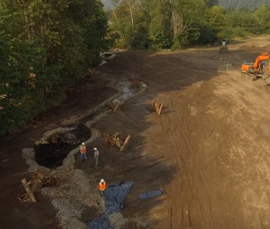
Ball Creek Habitat Restoration
Partners enhanced one-half mile of Ball creek by maximizing floodplain connectivity to the river and stream and removing a fish passage barrier.
Priority Actions for Floodplains
Priority floodplain management projects are currently focused on levee setbacks, floodplain restoration, floodplain reconnection, and road impact mitigation in the following geographic areas.

Puyallup River

Greenwater River

White River
